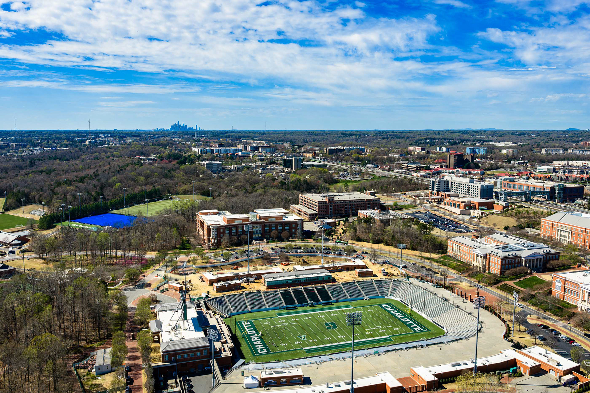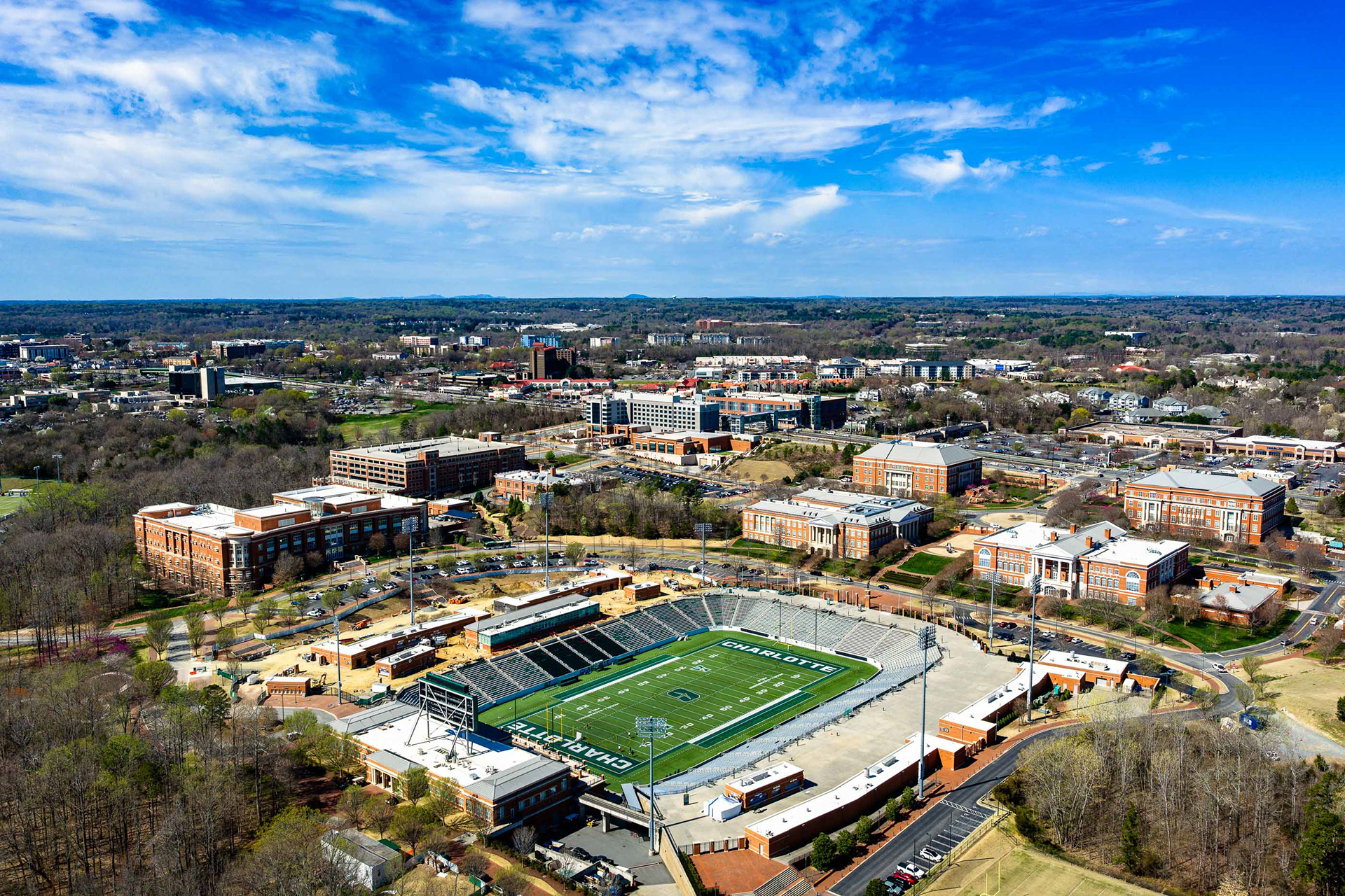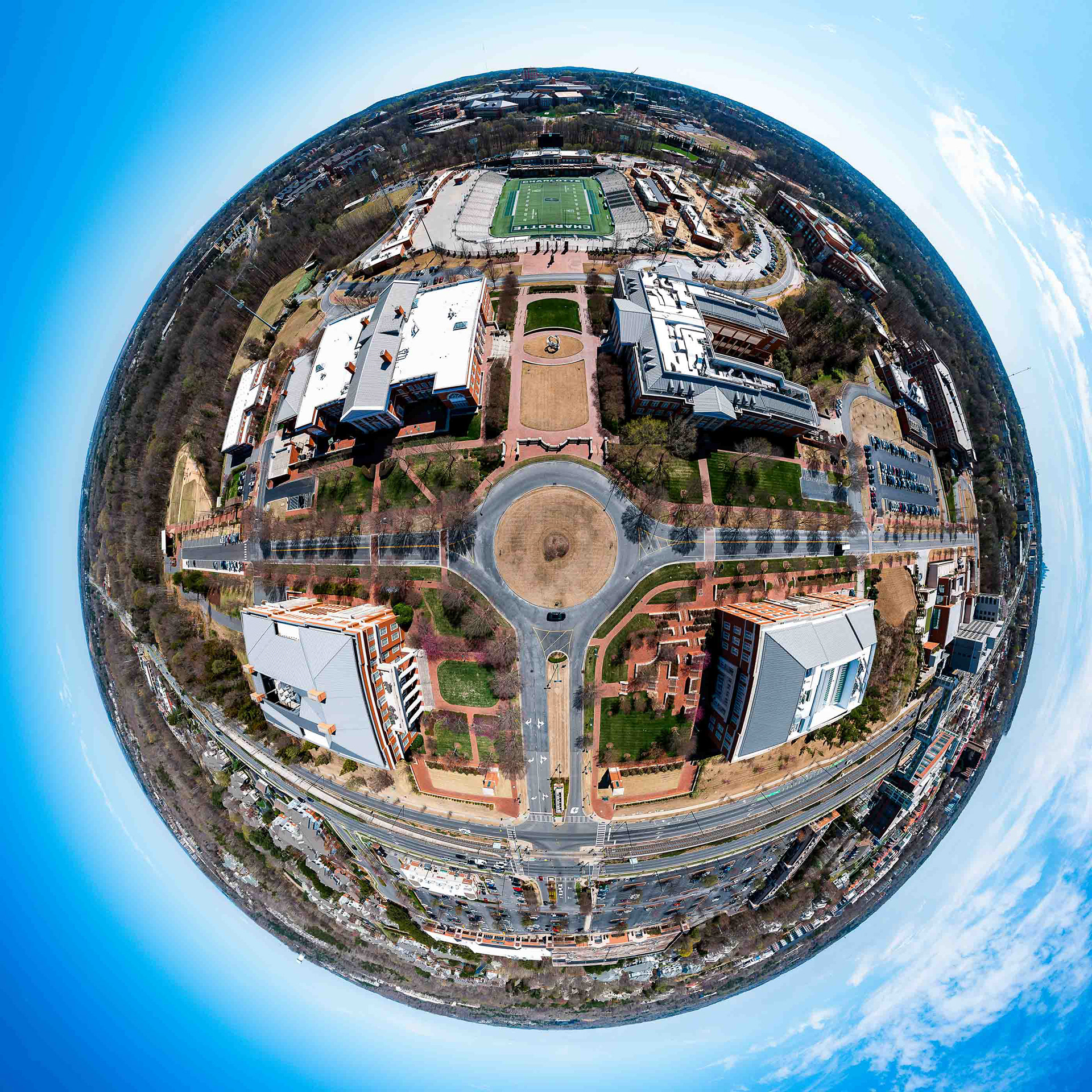
Overview A professional aerial study of University City, Charlotte, captured on a crisp March 2026 afternoon. This collection documents the district’s rapid urban evolution, highlighting the intersection of the UNC Charlotte campus, the LYNX Blue Line infrastructure, and the scenic residential boardwalks. Key Visual Highlights Strategic Vistas: Clear-day perspectives showcasing the iconic Charlotte skyline rising above the University City canopy. Architectural Landmarks: Detailed aerial views of Jerry Richardson Stadium and the university’s central academic core. Urban Connectivity: Documentation of the pedestrian-centric design and transit corridors that define this innovation district. Creative Projection: A unique 360° "Tiny Planet" stereographic projection offering an immersive view of the campus hub. Technical Execution Captured during peak afternoon light to emphasize architectural depth and vibrant spring colors. These high-resolution assets are optimized for urban develop